Auckland
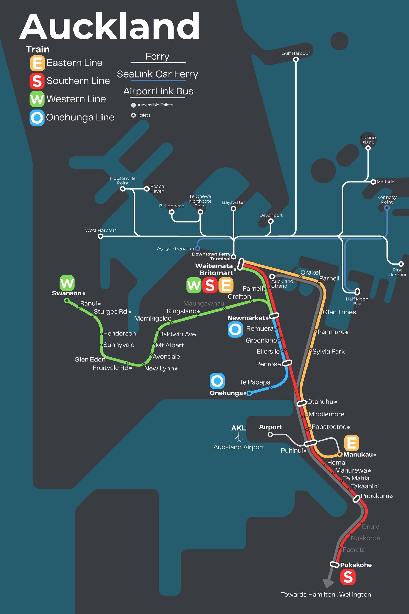
Auckland got its first railway in December 1873, when the line from Penrose to Onehunga opened. Its suburban network was rebuilt in the 2000s. In 2003 Britomart station (now Waitematā) opened underground in the city center, and in April 2014 the first electric trains began carrying passengers, with the main suburban lines fully electric the next year. In September 2026 the City Rail Link opened, twin tunnels about 2.1 miles long under the city center with two new underground stations, Te Waihorotiu and Karanga-a-Hape, turning Waitematā from a terminus into a through station.