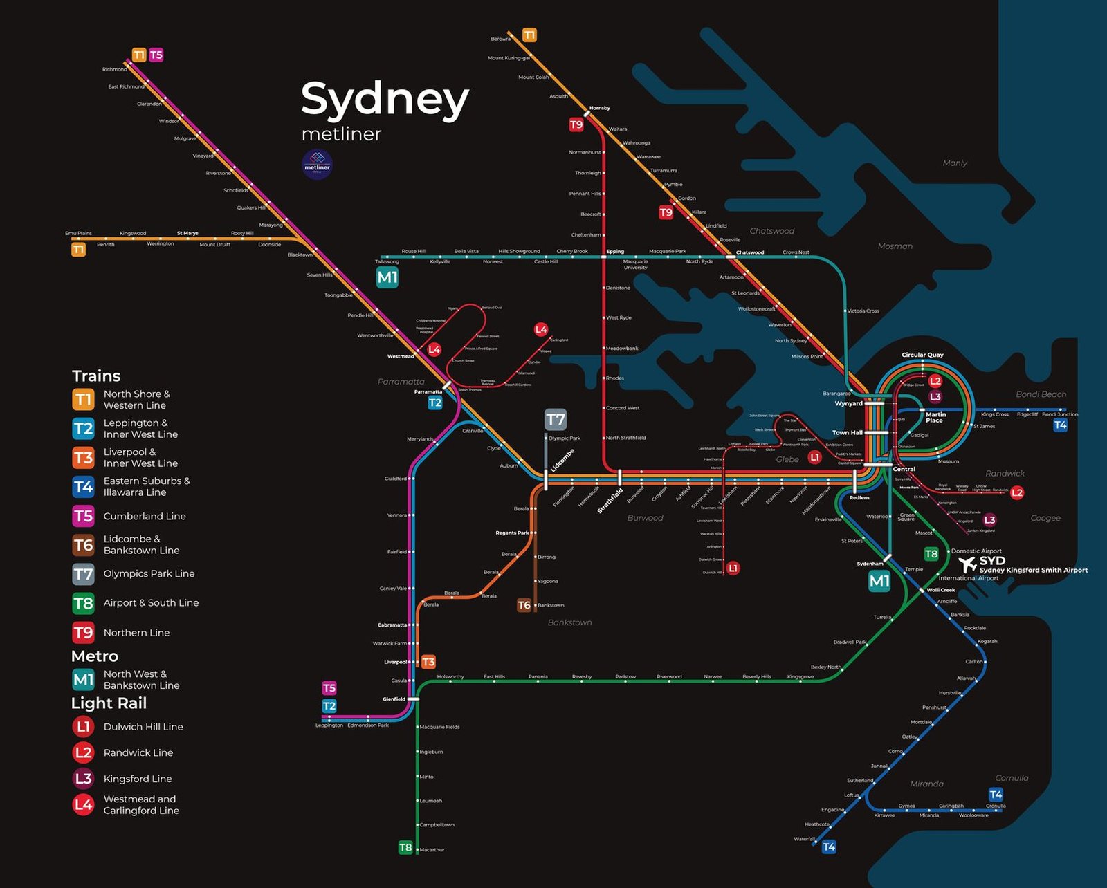
Sydney
Sydney got its first railway in September 1855, when the line to Parramatta opened. Suburban trains became the backbone of the city, and in 1932 the opening of the Sydney Harbour Bridge carried them across the harbor to the North Shore. In May 2019 Metro North West opened as Australia's first fully automated metro, and in August 2024 the metro was extended from Chatswood under the harbor through the city center to Sydenham, bringing it to about 32 miles and 21 stations. That December, Parramatta Light Rail began service as well.