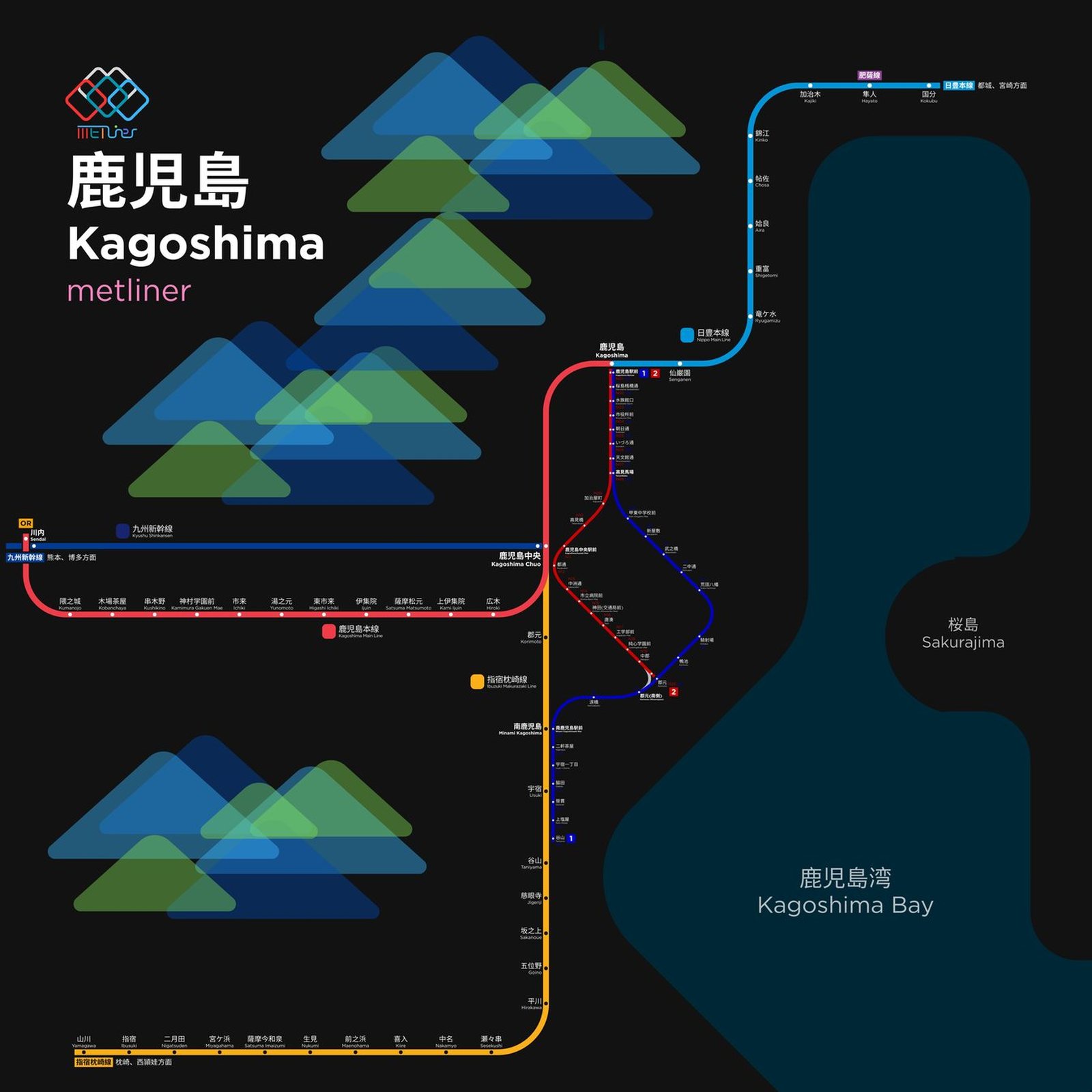
Kagoshima
Kagoshima got its first streetcar line in 1912, when trams began running from Takenohashi to Taniyama. Much of the street track is now laid with grass, giving the middle of the road a strip of green, and Taniyama has a marker for the southernmost tram stop in Japan. For more than a century the trams have been part of daily life in the city. An air raid in 1945 badly damaged the line, but the Taniyama Line was running again just 12 days later, and the Kyushu Shinkansen reached Kagoshima-Chuo in 2004, with through trains from Hakata after the full line opened in 2011.