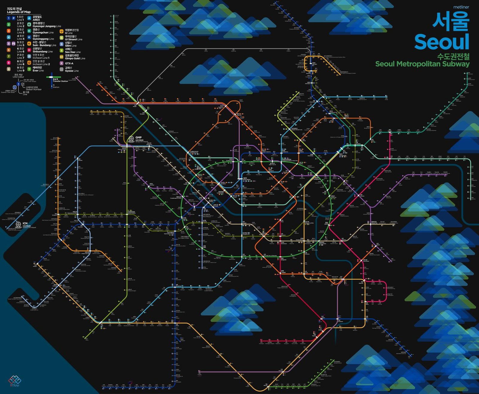
Seoul
Seoul got its first subway line in 1974, when Line 1 opened, running through onto Korail's suburban lines from the very start. In the fifty years since, the network has spread across the whole capital region, and by 2017 every station had platform screen doors. The AREX airport railroad opened in 2007 between Incheon and Gimpo airports and reached Seoul Station in 2010, giving travelers a direct ride from the city center to Incheon, and in 2024 the GTX-A express began service, sharply cutting commute times between Seoul and Gyeonggi Province.