San Francisco
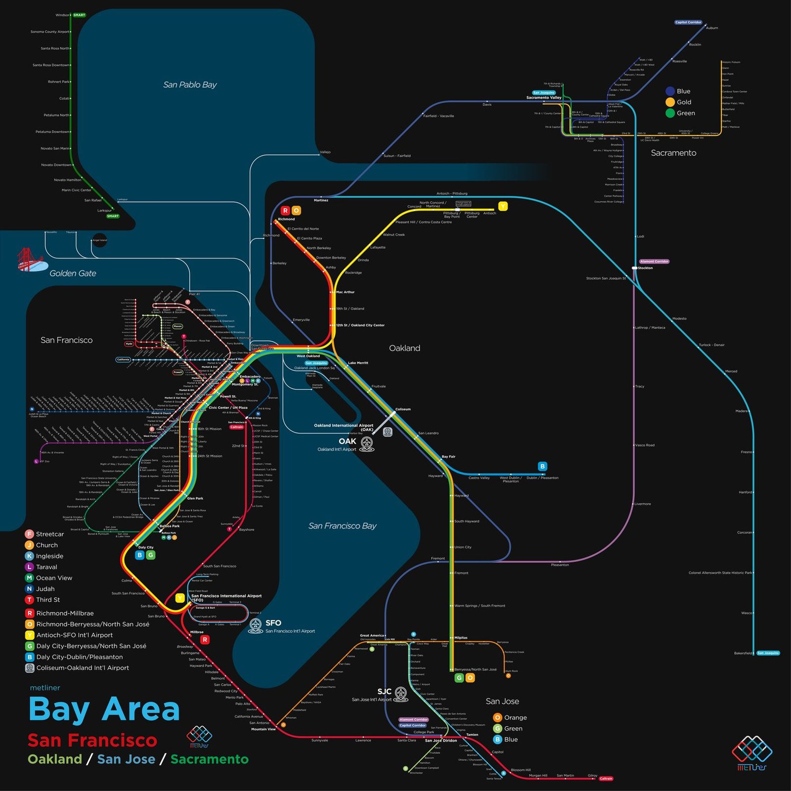
San Francisco's cable cars started running on Clay Street in 1873, and they still climb the city's hills today. Modern regional rail began with BART in September 1972. In 1974 BART trains started running through the Transbay Tube under the bay, linking San Francisco and Oakland, and the system has since reached San Francisco International Airport and San Jose in the South Bay, growing to 50 stations. In September 2024 Caltrain, which links San Francisco with Silicon Valley, switched to electric trains and retired its diesel passenger service.