Pittsburgh
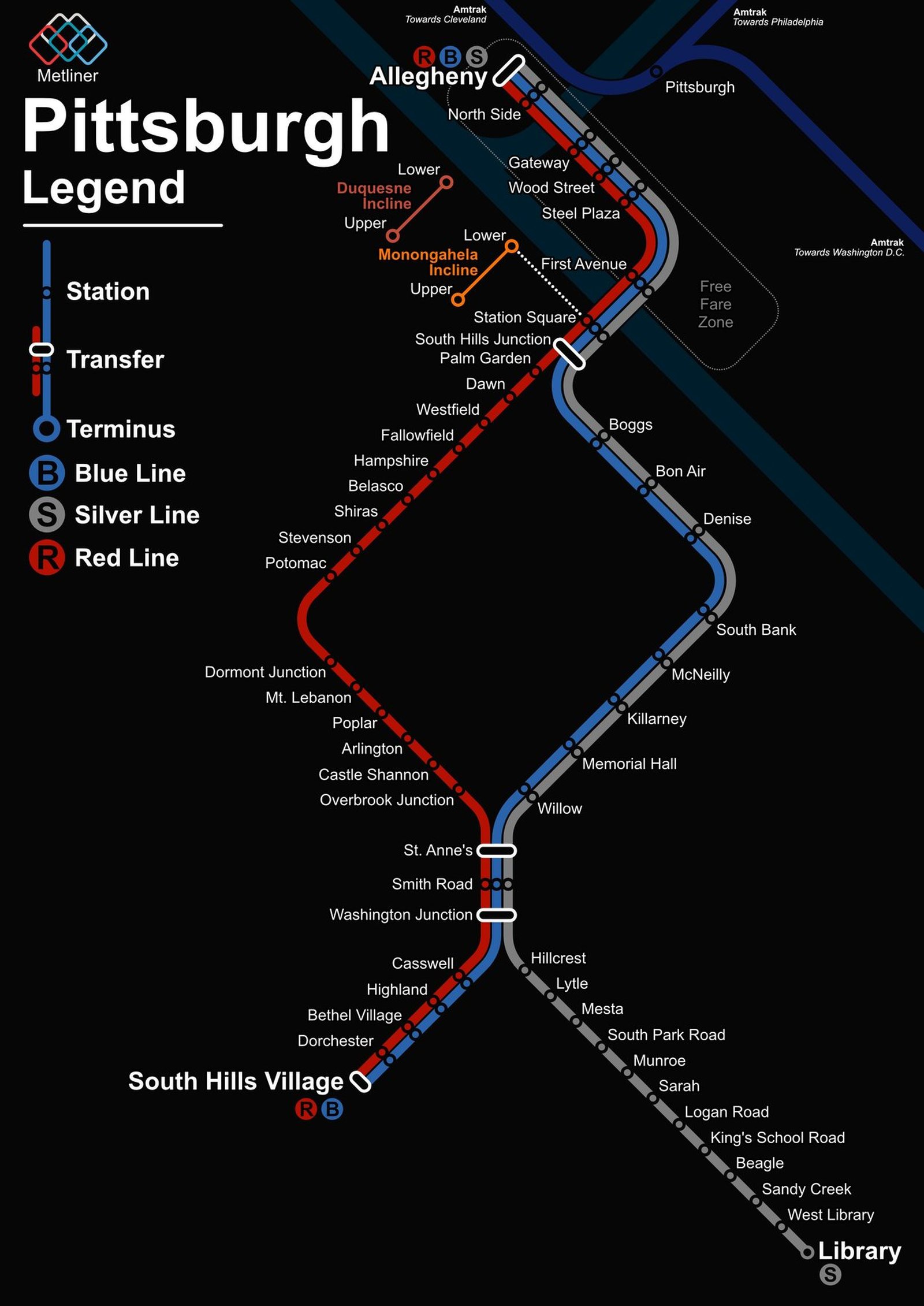
Pittsburgh's oldest working rail line is the Monongahela Incline, which opened up the slope of Mount Washington in 1870, and the Duquesne Incline, opened in 1877, still runs too. The modern light rail grew out of the streetcar lines that survived in the South Hills. Its first section opened in April 1984, and the downtown subway followed in July 1985. In March 2012 the North Shore Connector tunneled under the Allegheny River, extending light rail to the North Shore and its two stadiums and bringing the system to about 26 miles.