Kansas City
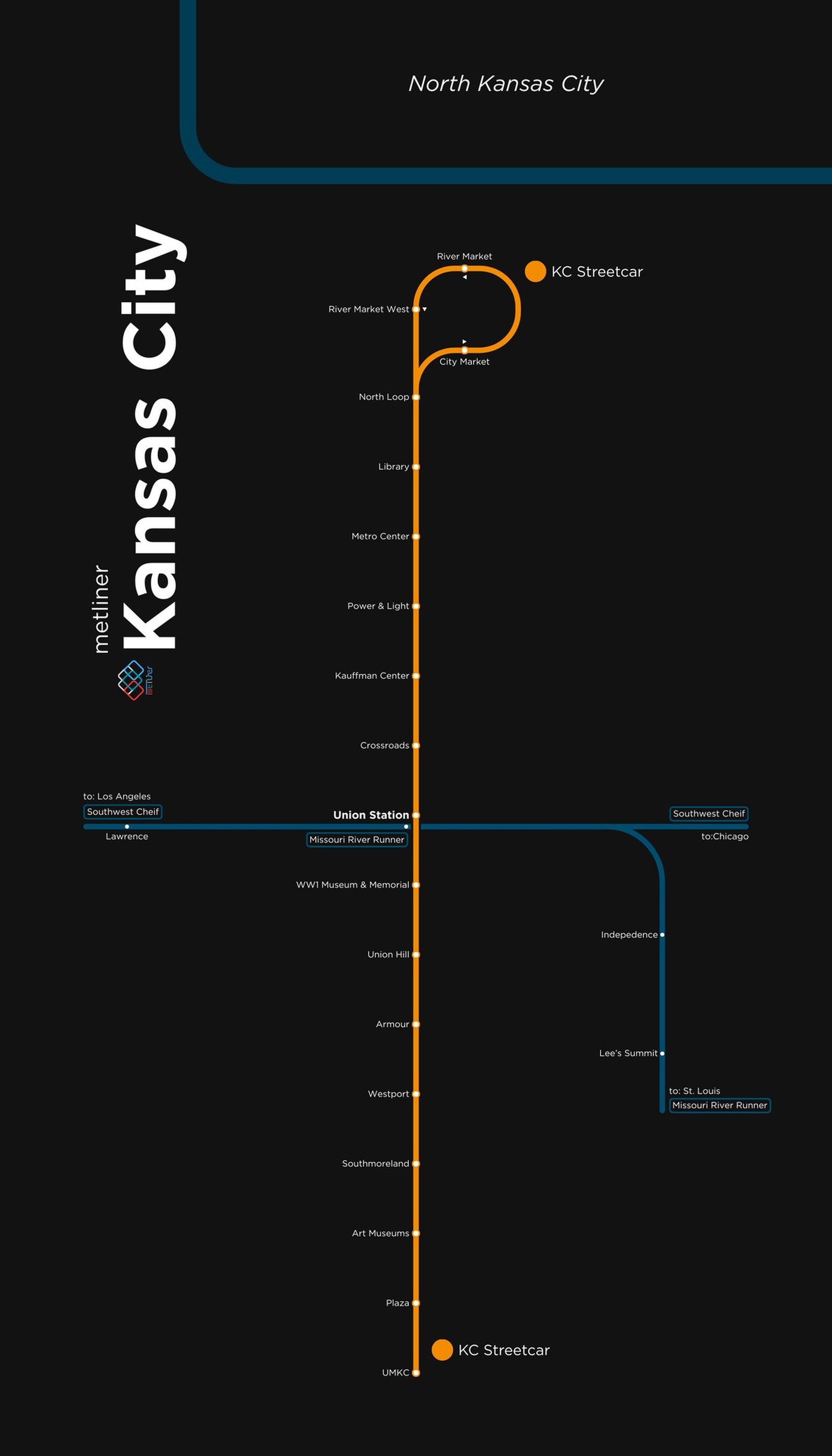
Kansas City got its modern rail system in May 2016, when the KC Streetcar opened between the River Market and Union Station along Main Street. The line is free to ride, and in ten years it has grown to nearly three times its original 2.2 miles. In October 2025 the Main Street extension opened, running about 3.5 miles south to the University of Missouri Kansas City, and in May 2026 the Riverfront extension opened north to Berkley Riverfront Park on the Missouri River, bringing the line to about 6.4 miles.