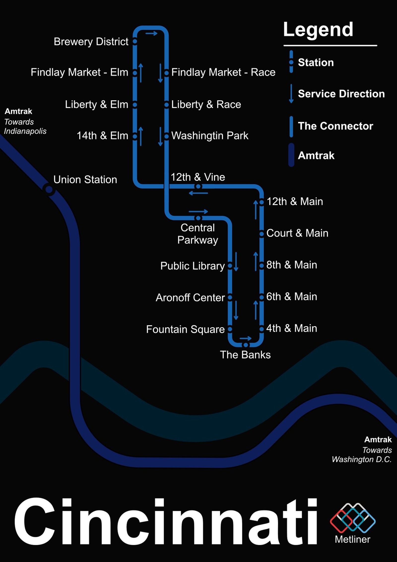
Cincinnati
Cincinnati got its modern rail line in September 2016, when its streetcar opened on a loop from The Banks on the riverfront through downtown to Findlay Market in Over-the-Rhine. The city had actually started building a subway in 1920, but work stopped in 1927 when the money ran out, no train ever ran, and about 2 miles of tunnel still sit underground, the largest abandoned subway tunnels in the United States. The streetcar has changed since it opened. Rides became permanently free in November 2020, and ridership reached a record in 2024.