Buffalo
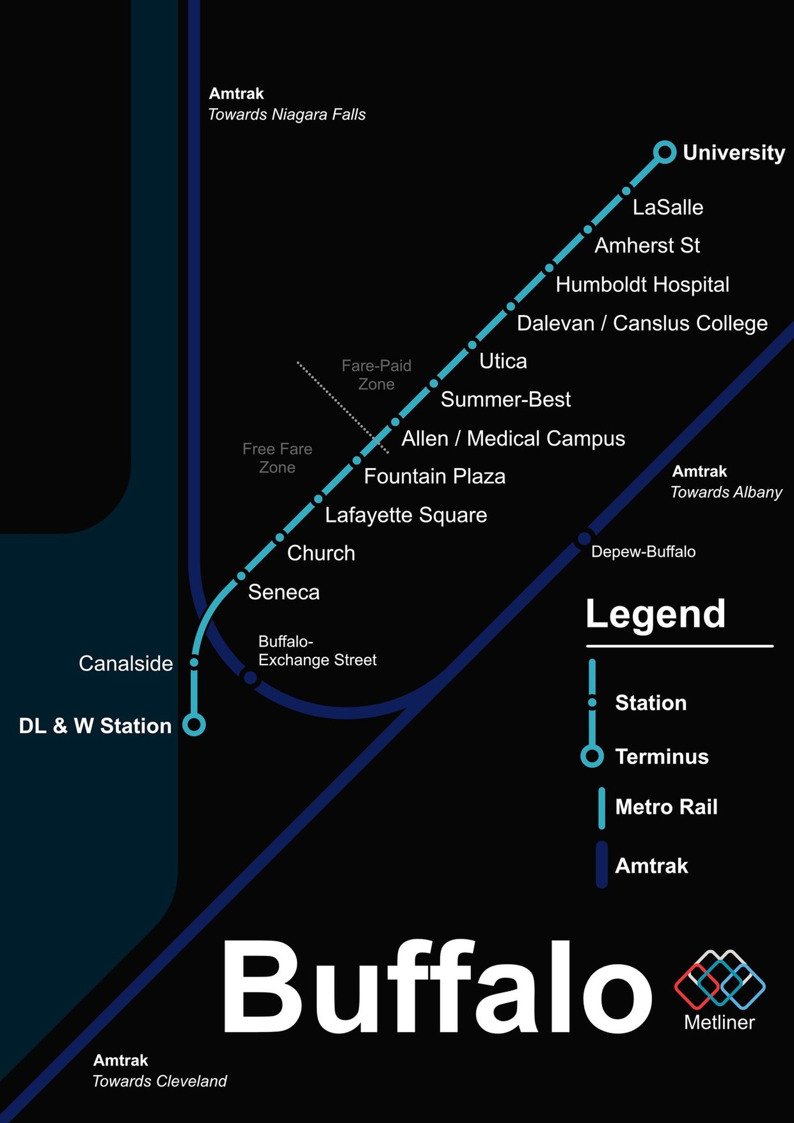
Buffalo got its light rail in October 1984, when the surface section of Metro Rail opened, and by 1986 the line reached the University at Buffalo, about 10 km in all. Roughly 80 percent of it runs underground, and rides on the surface section along Main Street downtown are still free. The line itself has changed little in forty years, but it keeps being adjusted. Theater station closed in 2013, making Fountain Plaza the north end of the free zone, and in December 2025 trains began serving the rebuilt DL&W station at Canalside. An extension to Amherst has cleared its environmental review and is still in planning.